-
30000 years of art
012 000 FtFollowing on from The Art Book published in 1994, 30,000 Years of Art offers an original and accessible introduction to art for a general readership. Unlike The Art Book, it organises the work in chronological order (rather than alphabetical), it covers all cultures (not only western) and, as the title suggests, it covers 30,000 years of art (rather than art since the Renaissance). The book contains over 1000 works of art from all periods and regions in the world and breaks through the usual geographical and cultural boundaries of art history to celebrate the vast range of human artistry across time and space. Each work is accompanied by key caption information (date, title, place of origin, style or culture, medium, dimensions etc.), and a text that provides more information on the work and its art historical context. The book presents art in a way very different from other art history compendia, revealing the huge diversity, or in many cases, similarity, of man’s artistic achievements through time and around the globe. Ordered chronologically, the resulting timeline of works will lead to compelling surprising juxtapositions will offer intellectual pleasure and a sense of wonder and discovery.
-
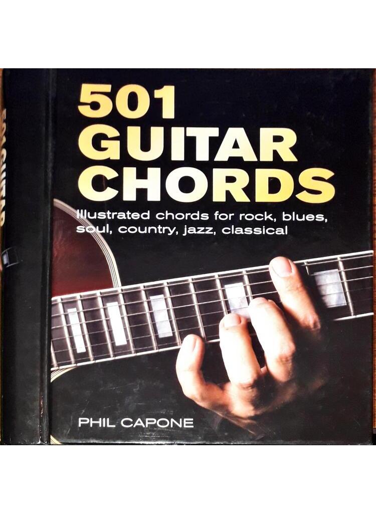
501 Guitar Chords
04 500 FtThis compact dictionary of over 500 chords in their most common voicings features clear photographs and easy-to-follow diagrams and instructions. The spiral binding allows you to lay the book flat for easy reference while playing. Fingering diagrams for each chord are clearly indicated on a fretboard while a photograph shows the chord being fretted, with tips on technique where relevant. Whether your musical style tends to rock, blues, soul, jazz, funk or country, this handy, take-anywhere volume puts the techniques for making great guitar music at your fingertips, and sets you on the road to becoming a true Chordmeister!
-
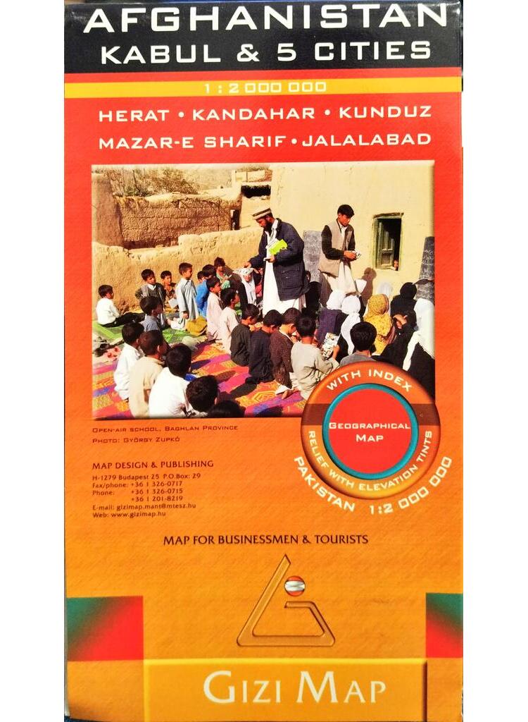
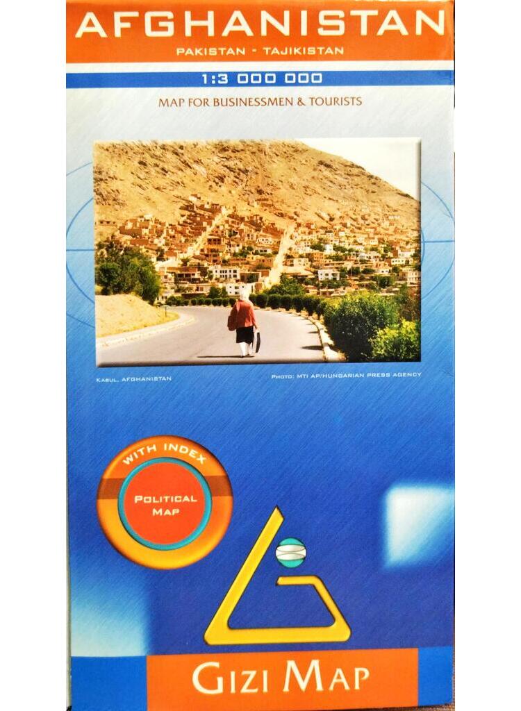
Afghanistan – Kabul & 5 cities
04 000 FtPakistan 1 : 2 000 000
Map for Businessmen & tourists
Geographical map
With index
Relief with elevation tints -
-
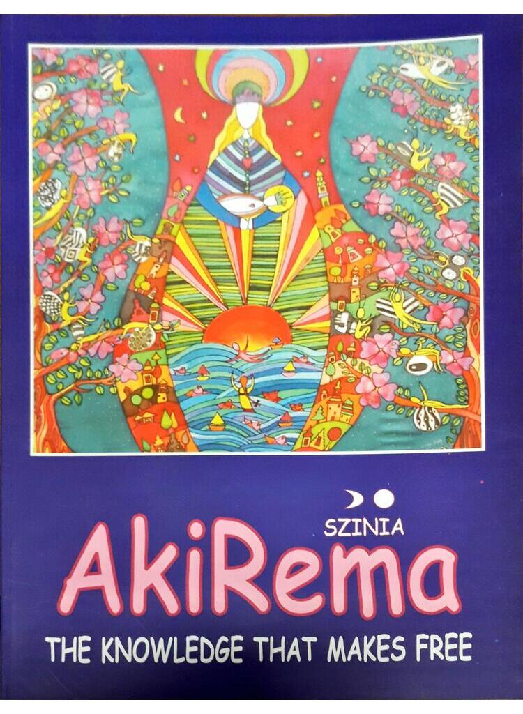
AkiRema
0800 FtThe name America is a palindromic one. Reading from the right to the left, the name AMERICA reads ACIREMA. ACI-RE-MA in tatos language means ‘The One Who is the Sun God of Today’ The ‘tatos language’ is the world’s missing secret clerical and esoteric language. This language was very well certain, from the moment of naming her, that America was going to shape the next world cycle on Earth, by possessing the power of the Sun God. The question is how she is going to shape the world … And whether she is going to have enough time to finish her artwork. The reason for the ‘tatos’ have been existing on earth is to share the divine knowledge with the rising civilizations, to ignate the evolution, and then step aside letting the certain civilization to develop in its own unique way. However there are instances when the tatos are compelled to speak…
-
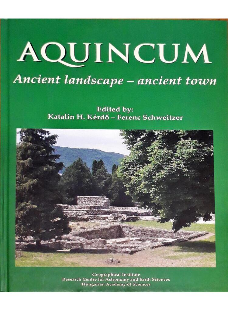
Aquincum
06 000 FtGeomorphological–paleoenvironmental studies supporting archeological excavations and investigations are to be considered a new trend within the broader sphere of studies on environment and geomorphology. By publishing the latest achievements of researches of this kind carried out on the territory of Aquincum and in its wider surroundings this book may equally reckon on the interest of professional circles and inquiring audience. Therefore the publication of such a volume of somewhat unusual character is welcome. The project could be completed as a result of the close cooperation of two important branches of studies, notably geography and archeology. They both have long lasting traditions in our country and on this occasion were represented by two prominent institutions, the Geographical Institute of the Hungarian Academy of Sciences, and the Aquincum Museum of the Budapest History Museum. Their contribution has made possible the publication of this book. The studies were aimed to clear up the role of those natural factors which exerted a profound infl uence on the development of the sett lement structure during the Roman Period. Romans had a special ability to realize advantages provided by geomorphological characteristics and they had made a good use of natural waters, fl ood-plain surface features and parent rocks for their creativity. The volume is also deemed as a pioneering work with regard to the richly illustrated presentation of geological, geographical and other natural features exposed in several places in the course of archeological excavations. A short summary shows the most important objects of the Roman Period related to natural endowments and traces of activities of the time leading to environmental transformation. Based on geomorphological evidence a new answer is proposed to a previously raised problem whether the Hajógyári Island existed as an islet already in the time of the Romans. Another intriguing issue tackled is the purpose of the system of trenches found in several places along the Danube River.
-
-

Beyond Possible
01 600 FtWELCOME TO THE DEATH ZONE. Fourteen mountains on Earth tower over 8,000 metres above sea level, an altitude where the brain and body withers and dies. Until recently, the world record for climbing them all stood at nearly eight years. So I announced I was summiting them in under seven months. People laughed. They told me I was crazy, even though I’d sharpened my climbing skills on the brutal Himalayan peaks of Everest and Dhaulagiri. But I possessed more than enough belief, strength and resilience to nail the job, having taken down enemy gunmen and terrorist bomb makers while serving with the Gurkhas and the UK Special Forces. Throughout 2019, I came alive in the death zone. Soon after, I was showing the world a new truth: that with bravery and enough heart and drive, the impossible was possible… I looked to the peak. Clouds had swept in, an ominous rumble of thunder was echoing through the valley below, and as I watched, it felt hard not to be awed by the size and scale of what lay ahead. I knew that judging the giant peak’s strengths and weaknesses was pointless because the giant peak ahead wasn’t going to judge me. Instead, there was a rush of inspiration. If I could channel the mountain’s spirit, becoming bulletproof to pain, stress, and fear, then nothing could stop me. Then I asked the question. Can I? Or can I not?
-

Budapest
02 500 FtThis book tries to combine three types of guides with the advantages of all three: the Baedeker type, the critical guidebook and the alternative guidebook. It tries to serve you as an „invisible host”. There is a Hungarian saying for things that seem impossible: ‘an iron ring made out of wood’. Even if this book cannot overcome the language difficulties, it is designed to put the visitor at ease when making his own plans to discover the city After all, it is easier to get help with the language from friends, business partners, interpreters or hotel receptionists, than to get ideas for spending one’s time.
-
-
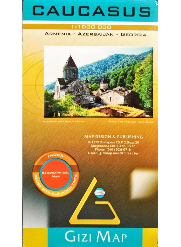
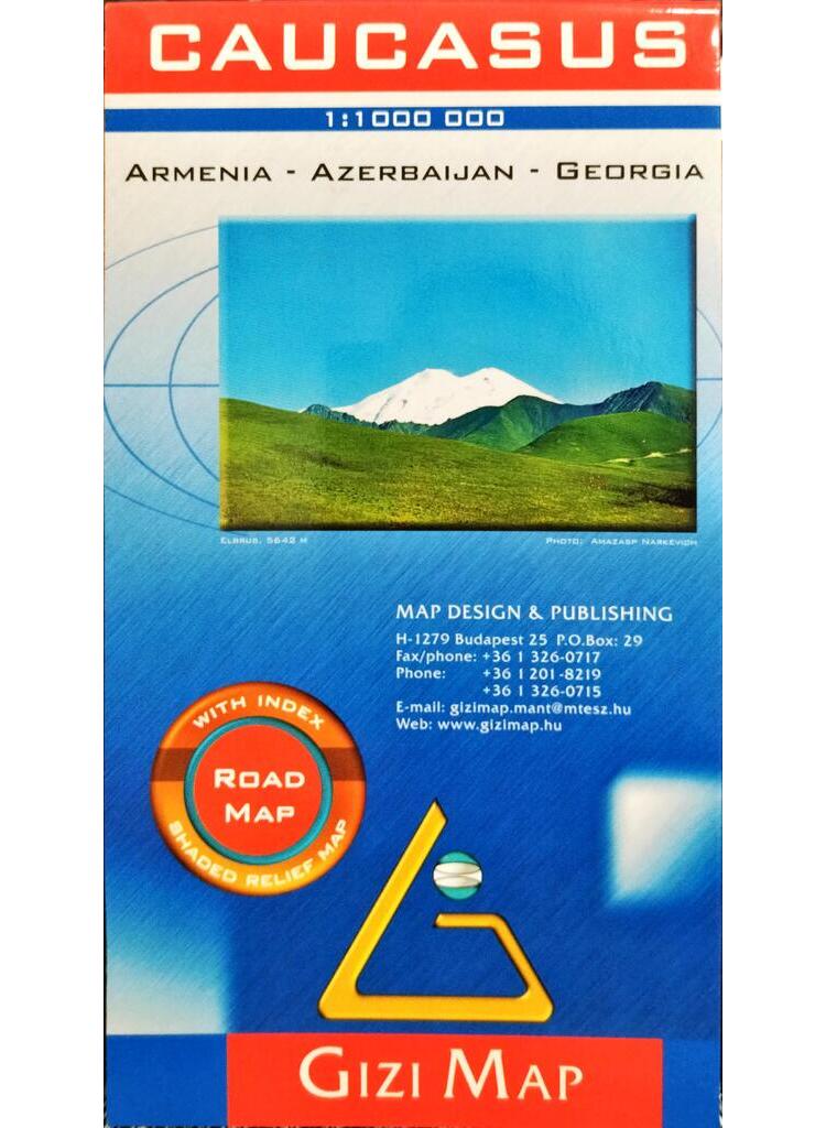
Caucasus / Armenia – Azerbaijan – Georgia
04 000 FtGeographical map
Index
Relief with elevation tints -

-
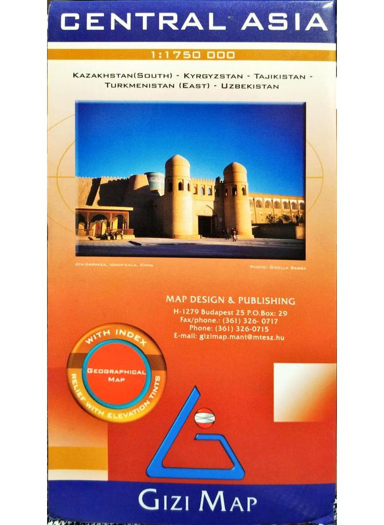
Central Asia
04 000 FtKazakhstan (South) – Kyrgyzstan – Tajikistan – Turkmenistan (East) – Uzbekistan
Geographical map
With index
Relief with elevation tints -
Colombia. Being a geographical, statistical, agricultural, commercial, and political account of that country, adapted for the general reader, the merchant, and the colonist. 2
08 000 FtA második kötete Kolumbia terményeit, kereskedelmét, történelmét és politikai rendszerét tárgyalja.
-
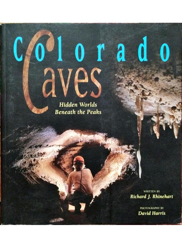
Colorado Caves
02 400 FtThough Colorado is well known throughout the world for its spectacular mountains, the subterranean domain beneath its lofty peaks has often gone unheralded – until now. Colorado Caves celebrates these awe-inspiring geological wonders, many of them witnessed only by a select few. Through their informative text and sublime photography, two longtime Colorado cavers unlock the secrets that dwell within these dark chambers while fostering a deep respect for the earth’s fragile environment.
The book’s engaging narrative details the discovery, exploration, history, scientific study, surveying, commercial development, conservation, and photography of these ancient, mysterious realms. For those inspired to visit Colorado’s caves, listings of public tours highlight the state’s prime caving destinations.
Full-color photographs of numerous caves and their fascinating formations – dripping soda straws, rare beaded helictites, and rippling „cave bacon,” to name a few – entertain the eye and educate the mind. Images of pristine underground streams, lakes, cliffs, and canyons eerily mirror the surface landscape above. Historic photographs offer further insight into Colorado’s rich caving legacy.
Enter a lightless universe where few people dare to go. Learn about its hidden treasures. Embark upon your own journey into Colorado Caves. -
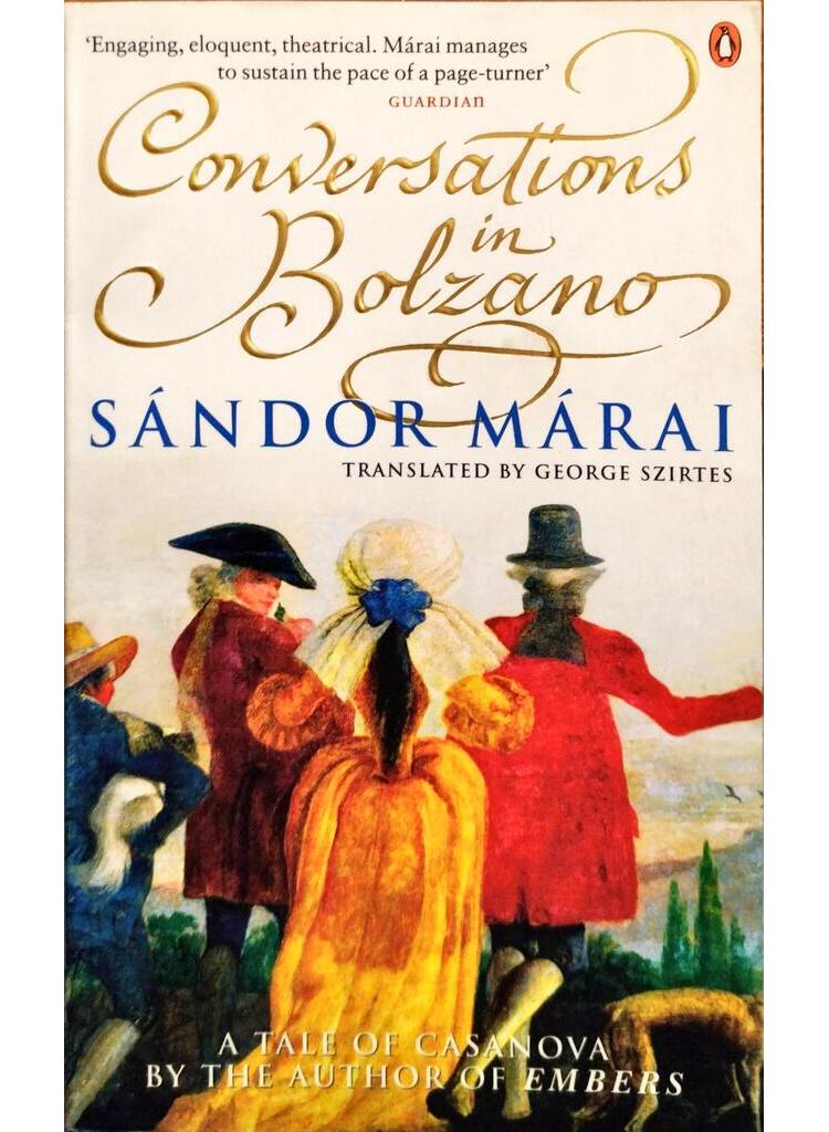
Conversations in Bolzano
02 400 FtOn a cold October night in 1758, Giacomo Casanova escapes from a Venetian prison, crosses country and installs himself at an inn in the village of Bolzano. It is here that he once fought – and lost – a duel against the Duke of Parma over the affections of a ravishing young girl. The Duke then told Casanova that if he ever returned he would be killed. Now the girl is downstairs, waiting. And so is the Duke. He brings Casanova a proposition that no one desires, but which, perhaps, none of them can yet resist.
-
-
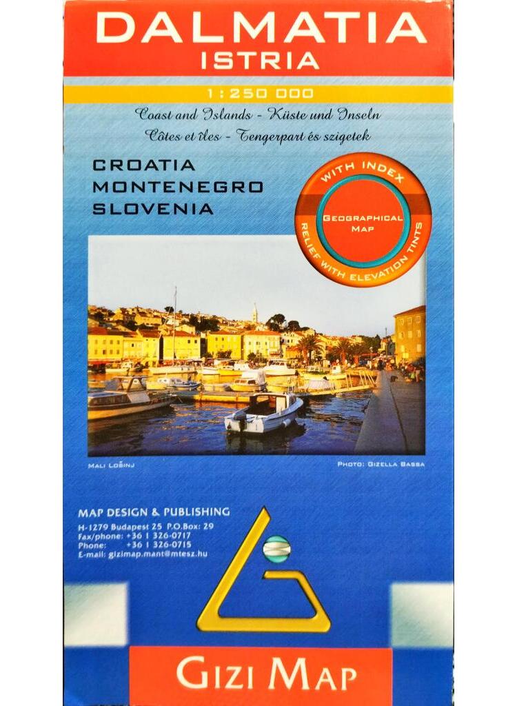
Dalmatia – Istria / Croatia – Montenegro – Slovenia
04 000 FtCoast and Islands
Geographical map
With index
Relief with elevation tints -
-
-

Europe
04 000 FtThe Guide that Shows You What Others Only Tell You. Features: – Over 2,400 photographs, illustrations and maps – Cutaways and floorplans of all the major sights – 3-D aerial views of Europe’s historic towns and cities – Where to eat, where to stay and how to get around
-
-
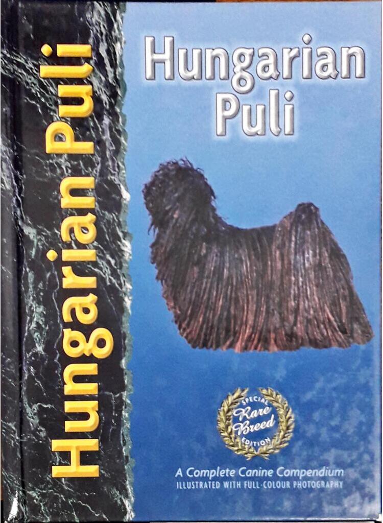
Hungarian Puli
02 400 FtThis Special Rare Breed Edition devoted to the Hungarian Puli is the only book of its kind about this fascinating and unique Pastoral breed. Known for his distinctive profuse coat of cords, his superior intelligence and his humorous ways, the Hungarian Puli is not only a beloved companion dog around the world but also a competent herding dog and eye-catching show dog. This Special Edition, with its specific instructions on rearing, caring for and training the breed, proves as singularly satisfying as the Hungarian Puli himself, indeed a welcome addition to the libraries of pet owners and long-time Puli fanciers. Written by the well-respected Kennel Club judge and Puli breeder Ann Arch, Hungarian Puli provides insightful chapters on breed history, characteristics of the breed, the official breed standard as well as puppy selection, grooming and coat maintenance, health care and showing. This book combines the expertise of breed specialists, veterinary surgeons, trainers and behaviourists with a team of experienced book designers, photographers and illustrators to create a resourceful and accurate guide for all Puli owners. Illustrated with over 135 colour photographs, the book proves to be as attractive as it is informative. Innovations of modern science have enabled the publisher to present never-before-seen scanning electron micrograph images produced exclusively for this limited-edition series.
-
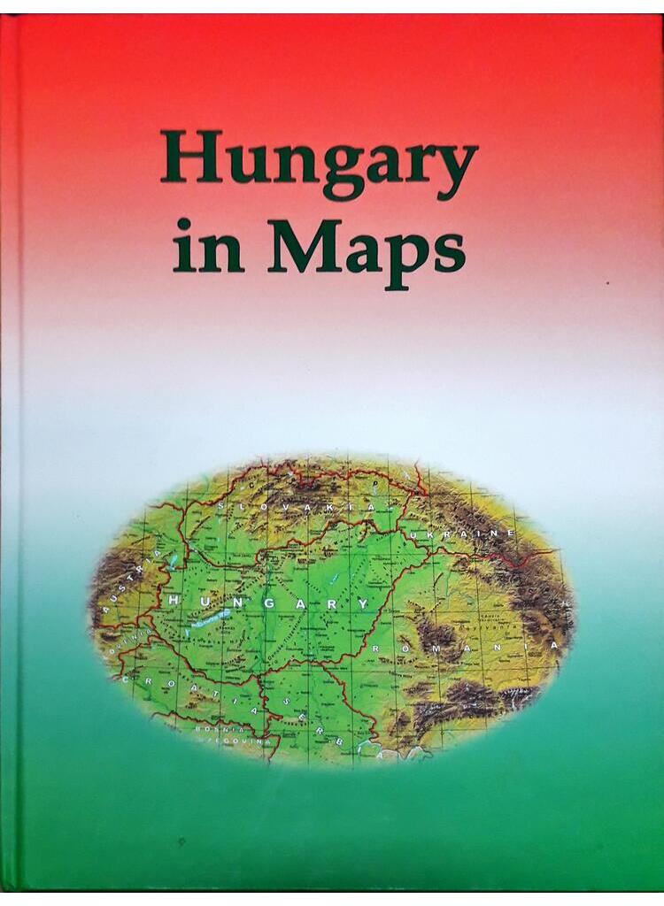
Hungary in Maps
02 400 FtAz MTA Földrajztudományi Kutatóintézete a regionális atlaszok sorozata keretében – a Délkelet-Európával és Ukrajnával foglalkozó atlasz után – a rendszerváltozás 20., NATO-csatlakozásunk 10., az EU-tagságunk 5. évfordulóján jelentette meg a külföld tájékoztatására ezt a viszonylag kisméretű (21 x 29,8 cm-es), angol nyelvű kiadványt országunk korabeli természeti, társadalmi és gazdasági helyzetéről. A digitális technikával készült, 211 oldalas atlasz szerkezetében a szöveg és térkép aránya közel 2:1-re volt tehető. A 142 térkép körében a természeti, gazdasági és társadalmi tématerületek csaknem hasonló súllyal szerepeltek. A korábbi nemzeti atlaszokhoz képest országunk ezen angol nyelvű kis „névkártyája” a hazai és nemzetközi érdeklődés kielégítésére számos kérdéskör (pl. etnikai, politikai, történeti, vallásföldrajzi, ökológiai, urbanizációs, kereskedelmi, telekommunikációs, turisztikai témák) újszerű bemutatását is felkínálta.
-
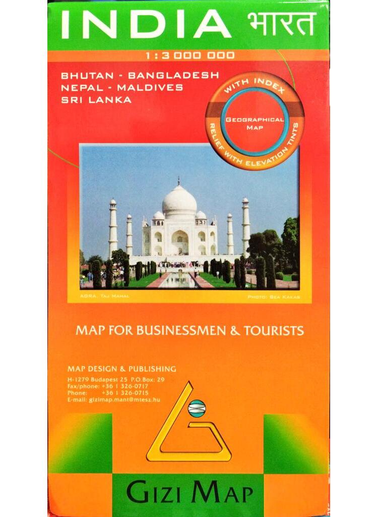
India / Bhutan – Bangladesh – Nepal – Maldives – Sri Lanka
04 000 FtMap for Businessmen & Tourists
Geographical map
With index
Relief with elevation tints -
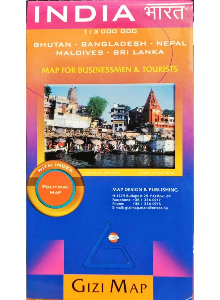
India / Bhutan – Bangladesh – Nepal – Maldives – Sri Lanka
04 000 FtMap for Businessmen & Tourists
Political map
With index -
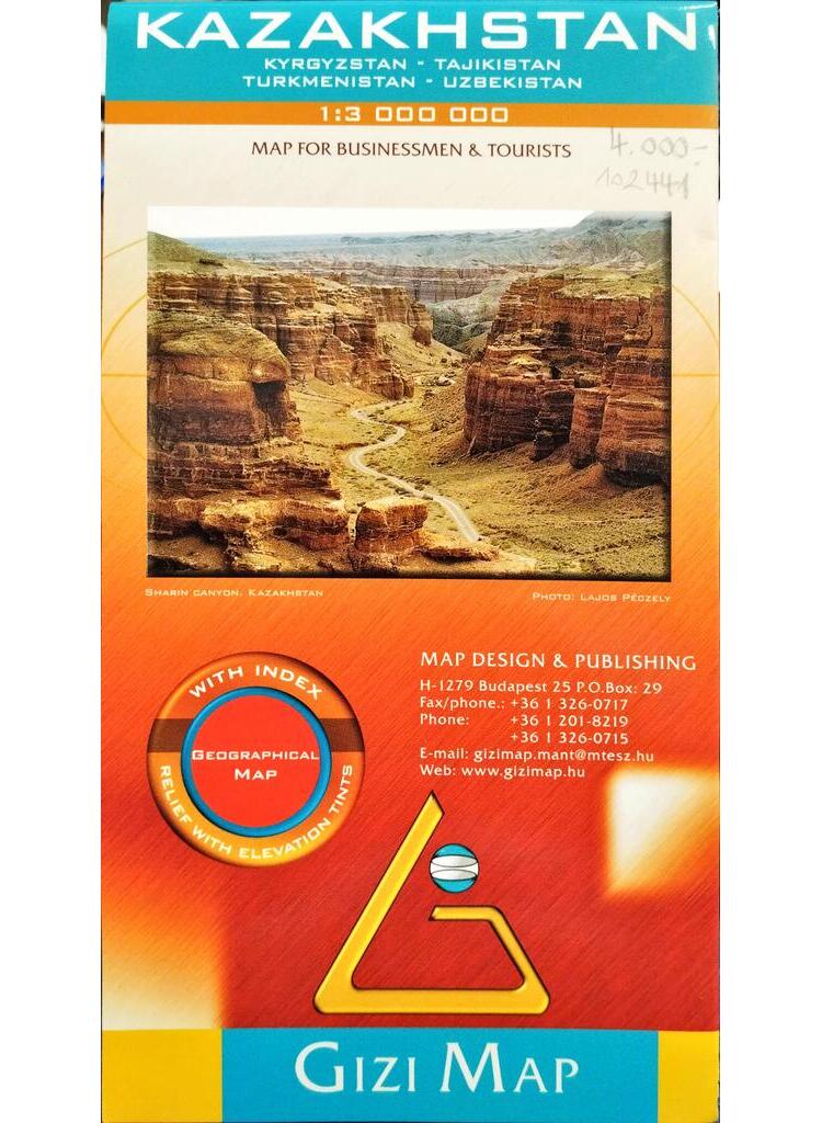
Kazakhstan
04 000 FtMap for Businessmen & tourists
Geographical map
With index
Relief with elevation tints -
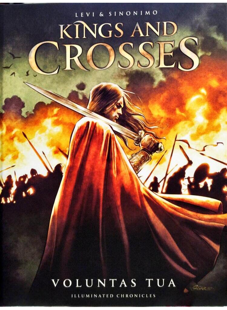
Kings and Crosses – Illuminated chronicles
02 500 FtA KIRÁLYOK ÉS KERESZTEK története Szent István életének utolsó évtizedében kezdődik. Az öregedő király harminc évnyi béke-időszak alatt megszilárdította hatalmát, elindította a Magyar Királyságot a modernizálódás, fejlődés útján. De nem adatik meg neki a békés és nyugodt öregkor: a határokon újabb hódító seregek tűnnek fel, és a trónutódlás terén is előre nem várt, tragikus eseménnyel kell szembenéznie. A király – úgy tűnik- már nem tud többé úrrá lenni a gondokon. Mi nem ismételjük az unalmas történelemkönyveket. Akár így is történhetett volna…
A Királyok és keresztek képregény új szolgáltatása és újdonsága egy ingyenes mobiltelefonos applikáció, mellyel a kiadványt kiegészítő virtuális tartalmakat jeleníthetsz meg.
Az Augmented reality révén, 3D-ben mutathatjuk meg szereplőinket, esetleg épületeket, melyek ma már nem léteznek; körbenézhetünk a csaták helyszínén, például a korabeli Bécs egyetlen már álló temploma, a Ruprechtkirche környékén. Az app és egy okostelefon vagy tablet segítségével nemcsak a korabeli lovagi fegyverzetet, a magyar könnyűlovasságot és a német lovagokat tudjuk bemutatni nektek, de számos érdekességet, információt, hasznos vagy csak vicces tartalmat is kaptok. Többek között megtudhatjátok, miért nem a legokosabb katonákból állítják össze az őrséget, mi köze volt Szent Eustachiusnak Hunorhoz és magorhoz, és hogy miért rühellik a vikingek a lovakat. -
-
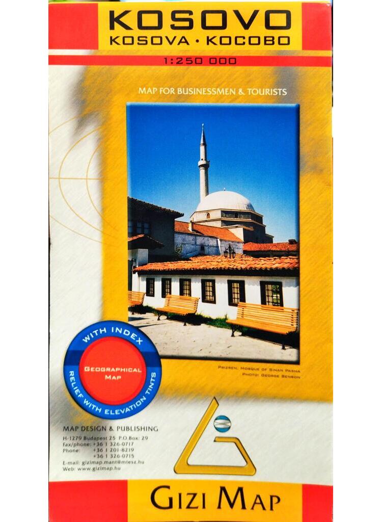
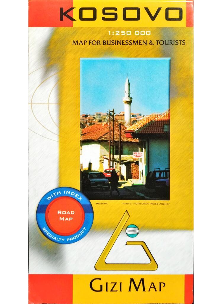
Kosovo / Kosova – Kocobo
04 000 FtMap for Businessmen & Tourists
Geographical map
With index
Relief with elevation tints -
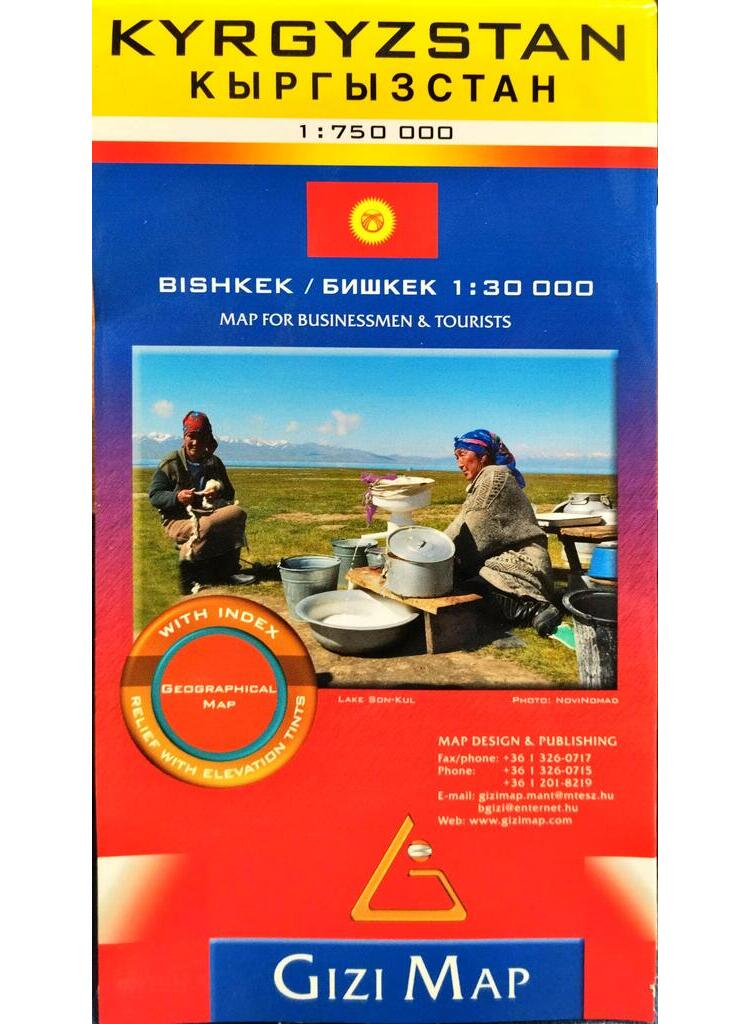
Kyrgyzstan
04 000 FtBishkek 1 : 30 000
Map for Businessmen & tourists
Geographical map
With index
Relief with elevation tints -
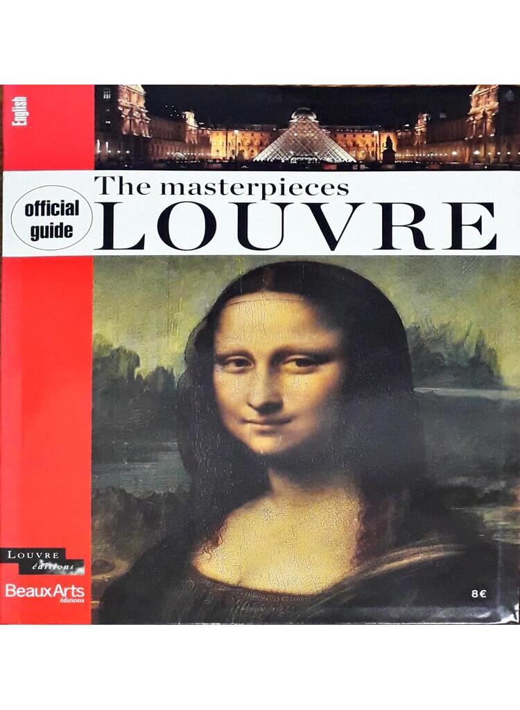
Masterpieces of the Louvre
02 400 FtThis guide to the Louvre masterpieces presents over 150 major works and views of the most spectacular rooms. Renowned specialists from the museum contributed their knowledge and passion to re-create the magic of the Louvre. Internationally famous works, along with lesser-known or recently acquired pieces, illustrate the awesome diversity and wealth of the world’s largest museum. This authoritative work includes commentaries by the museum’s curators and a spectacular selection of illustrated works, as a souvenir of an unforgettable visit.
Honterus Antikvárium és Aukciós Ház